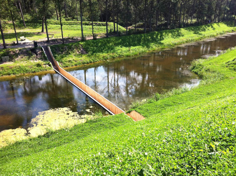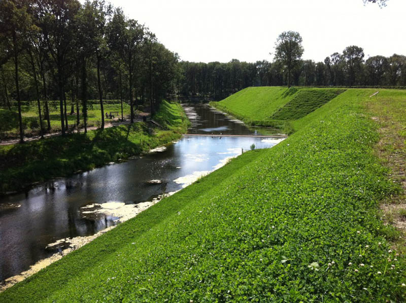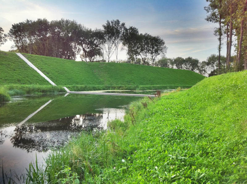

Winner of the Best Public Facility in Arch Daily’s annual Building of the Year competition, Moses Bridge by RO&AD Architecten is a sunken and seemingly invisible bridge in Halsteren, The Netherlands.
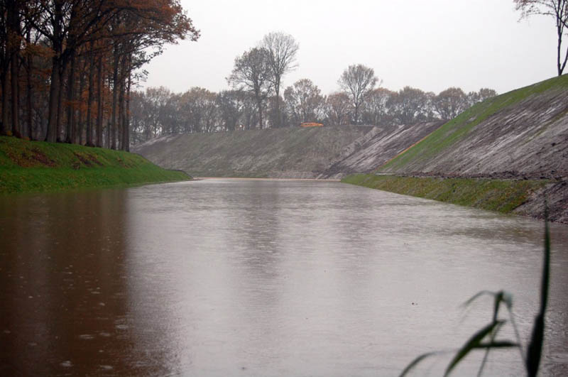
The bridge is located at the West Brabant Water Line, which was a defence-line consisting of a series of fortresses and cities with inundation areas in the south-west of the Netherlands. It dates from the 17th century but fell into disrepair in the 19th century. When the water line was finally restored, an access bridge across the the moat of one of the fortresses, Fort de Roovere, was needed as the fort now has a new, recreational function and lies on several routes for cycling and hiking. The end-result was the stunning Moses Bridge.
Unfortunately the project details were a bit sparse so there are a few questions where the answer is not obvious from the pictures, for example:
– How does the drainage system work, especially when it there are heavy rainstorms?
– Although the water levels are precisely controlled (this is The Netherlands after all!), is there any possibility the water could rise and put the bridge out of commission? The height of the water and bridge is quite comparable
– Does the construction of this bridge alter/impact whatever ecosystem exists in the water, as it now splits the body of water into two areas?
Let us know your thoughts in the comments below!
If you enjoyed this post, the Sifter highly recommends:
![The Tallest Bridge in the World [20 pics] worlds tallest bridge millau viaduct france 2 An Invisible Bridge in The Netherlands](https://i0.wp.com/twistedsifter.sifter.netdna-cdn.com/wp-content/uploads/2011/06/worlds-tallest-bridge-millau-viaduct-france-2.jpg)


